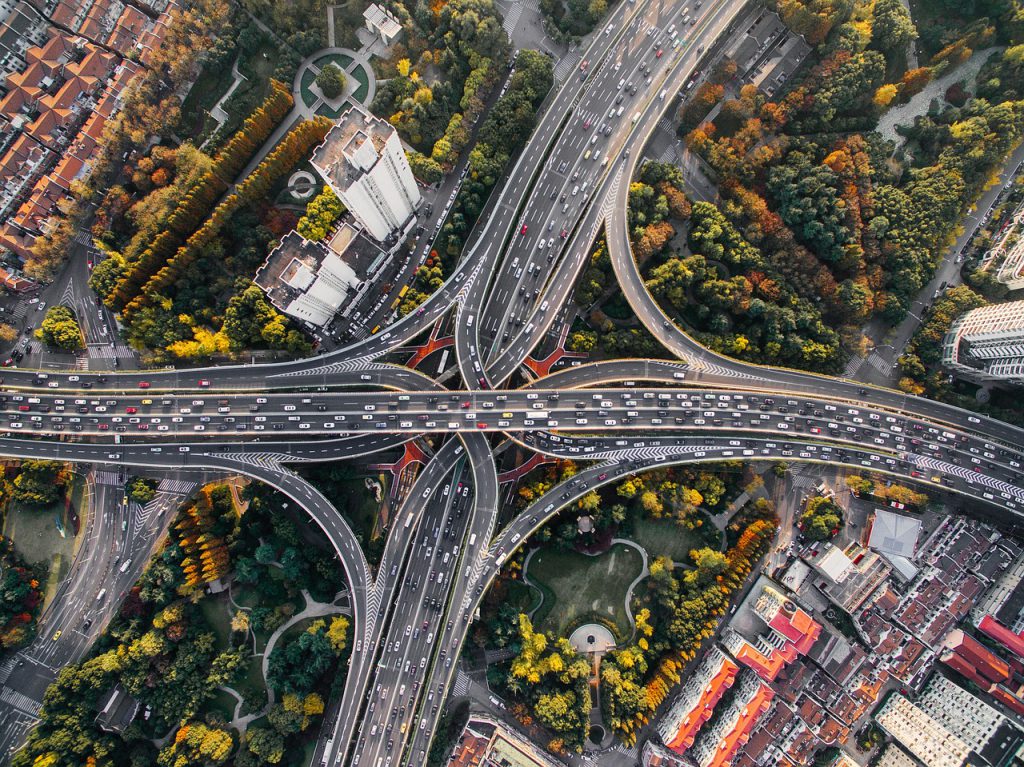
The autonomous car: safety hinging on a 25cm margin
 Does an autonomous or semi-autonomous car really know where it is located on a map? How accurately can it position itself on the road? For the scientists who are part of the European H2020 “HIGHTS” project, intelligent transportation systems must know their position down to one quarter of a meter. Jérôme Härri, a researcher in communication systems at Eurecom — a partner school for this project — explains how the current positioning technology must be readjusted to achieve this level of precision. He also explains why this involves a different approach than the one used by manufacturers such as Tesla or Google.
You are seeking solutions for tracking vehicles’ location within a margin of 25 centimeters. Why this margin?
Jérôme Härri: It is the car’s average margin for drifting to the right or left without leaving its traffic lane. This distance is found both in the scientific literature and in requests from industrial partners seeking to develop intelligent transportation. You could say it’s the value at which driving autonomously becomes possible while ensuring the required safety for vehicles and individuals: greater precision is even better; less precision, and things get complicated
Are we currently far from this spatial resolution? With what level of precision do the GPS units in most of our vehicles locate us on the road?
JH: A basic GPS can locate us with an accuracy of 2 to 10 meters, and the new Galileo system promises an accuracy of 4m. But this is only possible when there is sufficient access to satellites and in an open, or rural area. In the urban context, tall buildings make satellites less accessible and reaching a level of accuracy under 5 meters is rare. The margin of error is then reduced by projection, so that the user only rarely experiences such a large error in the positioning. But this does not work for an autonomous car. Improvements to GPS systems do exist, such as differential GPS, which can position us with an accuracy of one meter, or even less. Real time kinematic technology (RTK), used for cartography in the mountains, is even more efficient. Yet it is expensive, and also has its limits in the city. RTK technology is becoming increasingly popular for use in the dynamics of digital cities, but we have not yet reached that point.
And yet Google and Tesla are already building their autonomous or semi-autonomous cars. How are these cars being positioned?
JH: The current autonomous cars use a positioning system on maps that is very precise, down to the traffic lane, which combines GPS and 4G. However, this system is slow. It is therefore used for navigation, so that the car knows what it must do to reach its destination, but not for detecting danger. For this aspect, the cars use radar, lidars — in other words, lasers — or cameras. But this system has its limits: the sensors can only see around 50 meters away. However, on the highway, cars travel at a speed of 30, even 40 meters per second. This gives the autonomous car one second to stop, slow down, or adapt in the event of a problem… Which is not enough. And the system is not infallible. For example, the Tesla car accident that occurred last May was caused by the camera that is supposed to detect danger confusing a truck’s light color with the light color of the sky.
What approaches are you taking in the HIGHTS project for improving the geolocation and reliability?
JH: We want to know within a 25-centimeter margin where a vehicle is located on the road, not just in relation to another car. In order to do this, we use the cooperation between vehicles to triangulate and reduce the effect of a weak GPS signal. We consider that every vehicle nearby can be an anchor for the triangulation. For example, an autonomous car can have a weak GPS signal, but can have three surrounding cars with a better signal. We can increase the car’s absolute positioning by triangulating its position in relation to three nearby vehicles. In order to do this, we need communication technologies for exchanging GPS positions — Bluetooth, Zizbee, Wi-Fi, etc. — and technology such as cameras and radar in order to improve the positioning in relation to surrounding vehicles.
And what if the car is isolated, without any other cars nearby?
JH: In the event that there are not enough cars nearby, we also pursue an implicit approach. Using roadside sensors at strategic locations, it is possible to precisely locate the car on the map. For example, if I know the distance between my vehicle and a billboard or traffic light, and the angles between these locations and the road, I can combine this with the GPS position of the billboard and traffic light, which don’t move, making them very strong positioning anchors. We therefore combine the relative approach with the absolute position of the objects on the road. Yet this situation does not occur very frequently. In most cases, what enables us to improve the accuracy is the cooperation with other vehicles.
So, does the HIGHTS project emphasize the combination of different existing technologies rather than seeking to find new ones?
JH: Yes, with the aim of validating their effectiveness. Yet at the same time we are working on developing LTE telecommunication networks for the transmission of information from vehicle to vehicle — which we refer to as LTE-V2X. In so doing we are seeking to increase the reliability of the communications. Wi-Fi is not necessarily the most robust form of technology. On a computer, when the Wi-Fi isn’t working, we can still watch a movie. But for cars, the alternative V2X technology ensures the communications if the Wi-Fi connection fails, whether it is by accident or due to a cyber-attack. Furthermore, these networks provide the possibility of using pedestrians’ smartphones to help avoid collisions. With the LTE networks, HIGHTS is testing the reliability of the device-to-device LTE approach for inter-vehicle communication. Our work is situated upstream of the standardization work. The experience of this project enables us to work beyond the current standards and develop them along with organizations such as ETSI-3GPP, ETSI-ITS and IETF.
Does your cooperative approach stand a chance of succeeding against the individualistic approach used by Tesla and Google, who seek to remain sovereign regarding their vehicles and solutions?
JH: The two approaches are not incompatible. It’s a cultural issue. Americans (Google, Tesla) think “autonomous car” in the strictest sense, without any outside help. Europeans, on the other hand, think “autonomous car” in the broader sense, without the driver’s assistance, and therefore are more likely to use a cooperative approach in order to reduce costs and improve the interoperability of the future autonomous cars. We have been working on the collaborative aspect for several years now, which has included research on integrating cars into the internet of things, carried out with the CEA and BMW — which are both partners of the HIGHTS project. We therefore have some very practical and promising lines of research on our side. And the U.S. Department of Transportation has issued a directive requiring vehicles to have a cooperative unit beginning in 2019. Therefore, Google and Tesla can continue to ignore this technology, but since they will be present in vehicles and made freely available to them, there’s a good chance they will use it.
[box type=”shadow” align=”” class=”” width=””]
HIGHTS: moving towards a demonstration platform
Launched in 2015, the 3-year HIGHTS project answers the call made by the H2020 research program on the theme of smart, green, and integrated transportation. It brings together 14 academic and industrial partners[1] from five different countries, and includes companies that work closely with major automakers like BMW. Its final objective is to establish a demonstration platform for vehicle positioning solutions, from the physical infrastructure to the software.
[1] Germany: Jacobs University Bremen, Deutsche Zentrum für Luft- und Raumfahrt (DLR), Robert Bosch, Zigpos, Objective Software, Ibeo Automotive Systems, Innotec21.
France: Eurecom, CEA, BeSpoon.
Sweden: Chalmers University of Technology.
Luxemburg: FBConsulting.
The Netherlands: PSConsultancy, TASS International Mobility Center.
[/box]


Leave a Reply
Want to join the discussion?Feel free to contribute!